by Becky Ruzicka
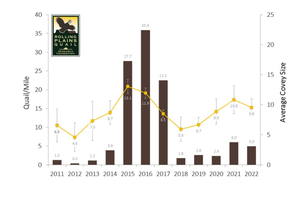
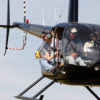
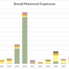
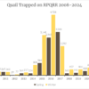
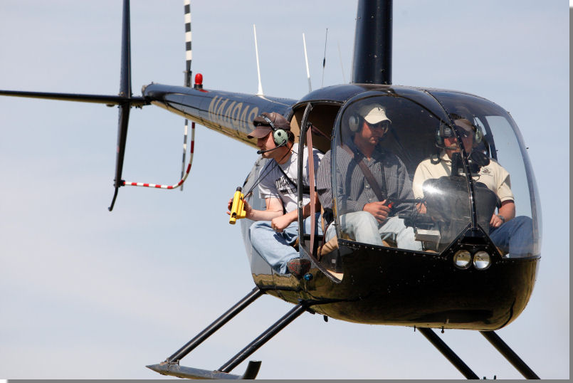
In November we conducted our annual helicopter surveys on the Research Ranch. We fly close 57 miles of transects spaced about 220 yards apart on the portion of the Ranch that is south of U.S. Hwy 180. Historically, these data were collected as another index of quail populations on the Ranch. In other words, we simply collected count and covey size data that reflects true abundance. Starting last year, we changed our protocols and acquired new gear and software to be able to collect distance survey data. Distance sampling methods allow us to get an estimate of the true population because they take into account detection probability, or you could think of it as the birds we didn’t see on flight. Density on the Ranch in 2022 based on our helicopter flight is approximately 1 bird per 8.5 acres, which is down from 2021 when we recorded 1 bird per 6 acres. The graph shows newer data standardized by quail observed per mile compared to historical data and the average covey sizes. Smaller covey sizes in 2022 compared to 2021 contributed to the lower density, as we observed approximately the same number of coveys.