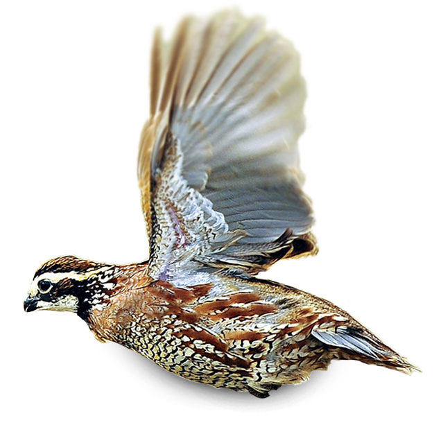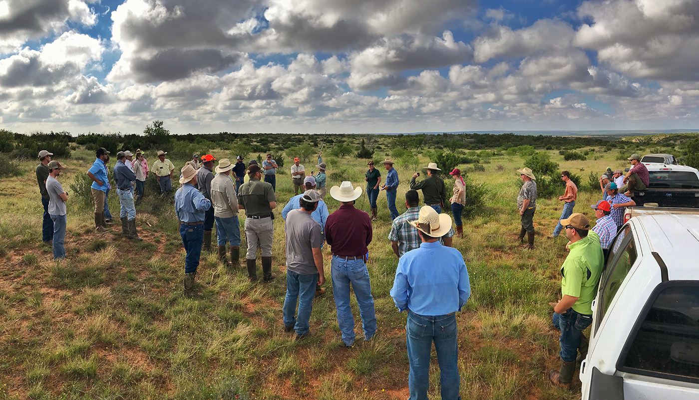

by Becky Ruzicka
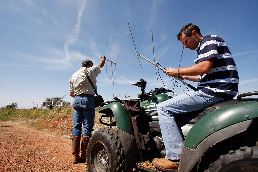
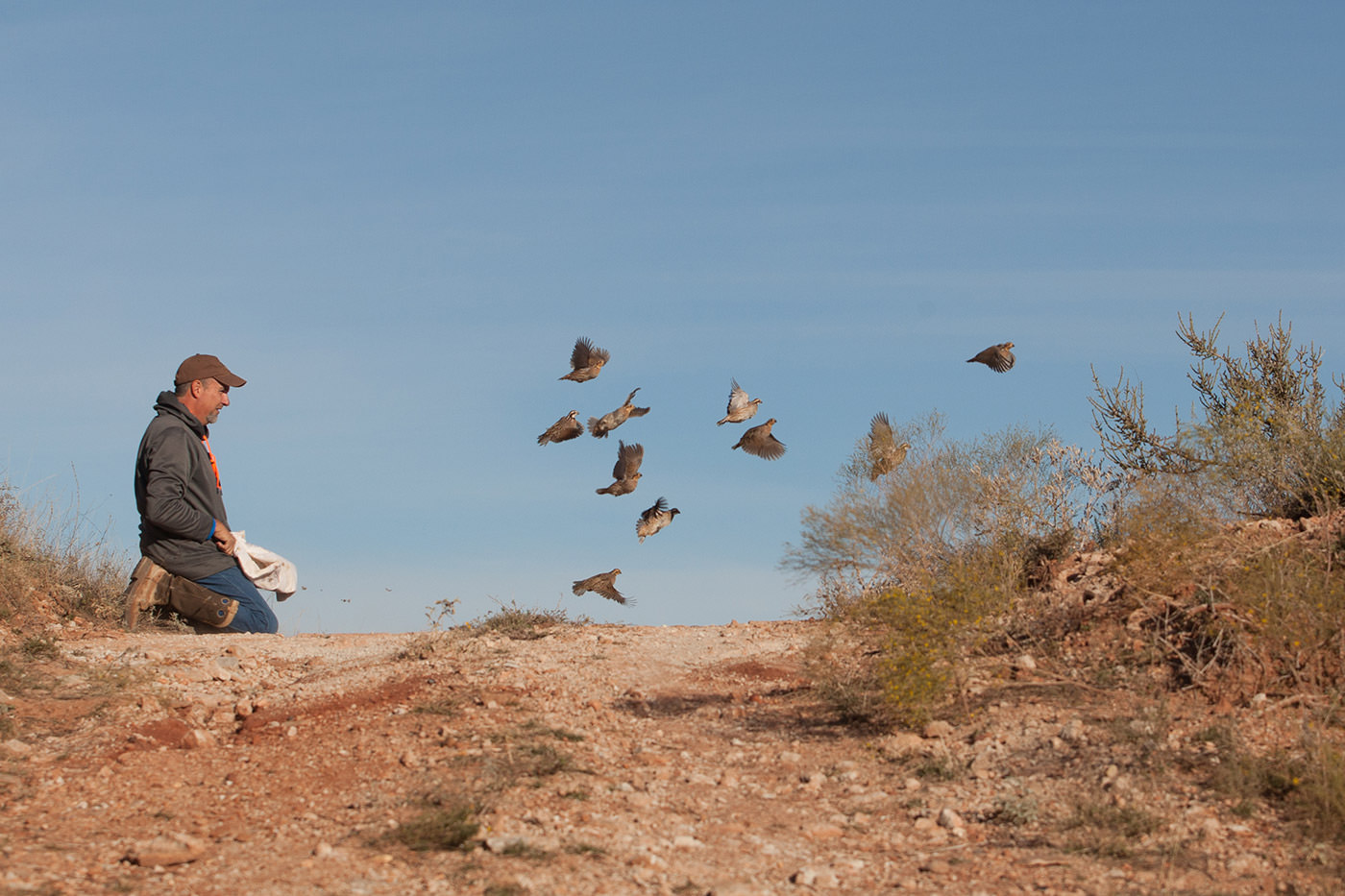
The ability to radio-collar and track quail via telemetry is arguably the most valuable tool available to a quail researcher. Telemetry provides us with rich datasets on quail survival, nesting success, clutch sizes, dispersal, habitat selection, etc. The concept is simple: a small transmitter that emits a radio frequency is attached to the bird, the researcher then uses an antenna and receiver to listen for a “beep” at the bird’s specific frequency. The louder the beep, the closer the researcher is to the bird’s location. Provided the researcher is in close enough proximity to hear any beep at all — and therein lies the problem. Typically radio-transmitters fitted to quail can be detected up to ½ mile away (although special circumstances will alter that distance considerably). However, quail can move miles in just a single day if the impulse strikes them, which results in a lot of search area for a researcher on foot.
We employ fixed-wing aircraft surveys to make the search process more efficient once we reach a certain threshold of missing birds (typically > 10% of the original sample size). The same concept applies to aerial telemetry as it does to ground-based methods, but aerial methods allow our equipment to detect signals from much farther distances. Antennas are attached to the wind struts on each side of the plane. These antennas are connected to a receiver that is plugged into the aircraft’s audio system. We then fly transects at some predetermined radius and listen for the “beep.” The tricky and often nauseating part is homing in on a signal from a tiny bird while flying roughly 90 mph, 2,000 ft. above it.
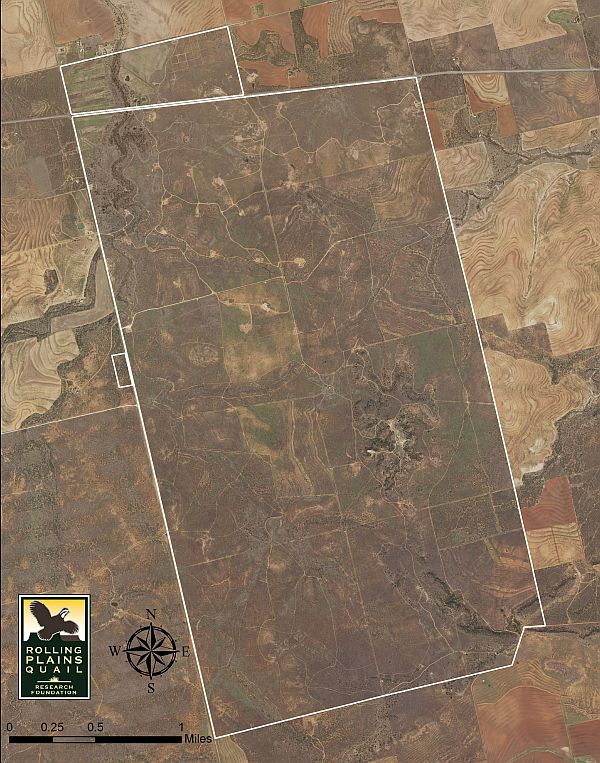
We most commonly use aerial telemetry when monitoring birds on our translocation projects. With inherently limited sample sizes, data on every single bird is extremely valuable. Translocated birds can also make larger movements than resident birds as they explore the new habitats available to them. During the month of June we conducted aerial telemetry surveys over the area surrounding both current translocation sites in Erath and Kent Counties. We found 25 missing birds in total and only 4 mortalities. In Erath County, two of the found bobwhites had dispersed over 6.5 miles from the release site within the last month (see figure). Scaled quail in Kent County were found much farther from the release site; although, we flew a larger radius from the release point as the surrounding area of contiguous rangeland is much larger than in Erath county and scaled quail can have a high propensity for dispersal. Campbell and Harris (1965) documented the longest known dispersal of a scaled quail: 77 miles! During our flight, we located some scaled quail at distances of 10, 11, and 16 miles from the release site. Interestingly, a group of 4 were located on a property approximately 10 miles to the northeast of our release site.
Now begins the work of contacting landowners and gaining access to these new properties to track down the birds found aerially on the ground. We will monitor these birds as frequently as time allows in the coming months to follow their success (or lack thereof) throughout the breeding season. One thing that was clearly demonstrated by the dispersal we observed is that translocation does not just benefit the release property. Quail do have a high potential for dispersal and can colonize adjacent habitats. Translocation sites can act as a source of birds for surrounding properties under the right circumstances. This underscores the importance of habitat co-ops to ensure dispersing bobwhite have the same chance to survive and reproduce as they would on a high-quality release site.